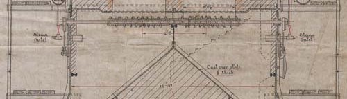
Plans
Maps, plans, architectural and technical drawings
| Image | Code | Title | Description | |
|---|---|---|---|---|
|
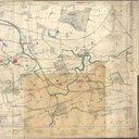
LVSAV1991.044 | Map - OS Linlithgowshire | File Record | OS Linlithgowshire composite sheet 25" to 1 mile, 1922,(Blackburn to West Calder) with geological features and areas of worked and unworked shale marked in colour. … |

|
LVSAV1991.057 | Map - OS Linlithgowshire: Kingscavil District | File Record | OS Linlithgowshire composite 25" to 1 mile, 1897, Kingscavil district, colour annotation of water courses and mining notes. |
|
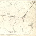
LVSAV1991.092 | Map - Haywood to Auchengray | File Record | OS plan 25":1 mile on paper, 1911 edition, from Haywood to Auchengray. |
|
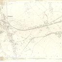
LVSAV1991.093 | Map - OS Plan: Wilsontown to Haywood | File Record | OS plan 25":1 mile on paper, 1911 edition Lanarkshire Sheet XX2 from Wilsontown to Haywood. |
|
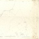
LVSAV1991.094 | Map - OS Plan: Upper Haywood to Worm Law | File Record | OS plan 25":1 mile on paper, 1911 edition Lanarkshire Sheet XIV 14 from Upper Haywood to Worm Law. |
|
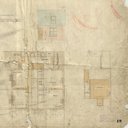
LVSAV1993.049 | Plan - Section of houses at Pumpherston | File Record | Coloured paper print "Section of houses at Pumpherston May 6th 1902" |
|
|
LVSAV1993.049 | Plan - Proposed houses for Pumpherston | File Record | Coloured linen plan "Proposed houses for Pumpherston April 12th 1902" |
|
|
LVSAV1996.010 | Plan - Armadale and Bathgate | File Record | 25" OS map, composite sheets covering Armadale and Bathgate areas with mining details of pits and boreholes, especially of the Torbanehill or Boghead coal. |
|
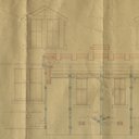
LVSAV1996.024 | Architectural Drawing - Addition of Bathrooms to Worker's Housing, Livingston Station | File Record | Architectural drawing of addition of bathrooms to worker's housing in Mid Street and South Street, Livingston Station, dated 31/12/1946. |
|
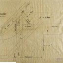
LVSAV1996.024 | Architectural Drawing - Barge Board on Dormer Window for Manager's House, Livingston Station | File Record | Architectural drawing of detail of barge board on dormer window for manager's house in Livingston Station, undated. |